Introduction
EUSALP TRANSPORT & MOBILITY CONFLICT MAP
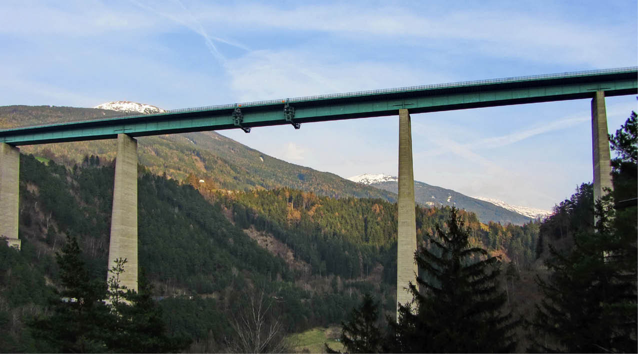
Europa Bridge / © Rosel Eckstein_pixelio.de
The aim of the CONFLICT MAP is to identify the most important challenges and conflicts of transport and mobility in the Alpine Region and to visualize them by means of concrete examples. The development of the CONFLICT MAP is part of the activity on public acceptance of modal shift of the AG4 Work Plan and pursues the aim of informing the wider public about the complexity and importance of the topic on transport and mobility in the Alpine Region.
In order to identify the main challenges and conflicts related to transport and mobility in the Alpine Region, the members of the AG4, amongst them representatives of regional and national public administrations, as well as stakeholders and civil society organizations were invited to bring forward concrete examples of conflicts and measures in the field of transport and mobility in their region/state. Based on these inputs, nine core topics were identified. Amongst them: air and noise pollution, the impact of transport infrastructure on landscape and nature, connectivity and accessibility, increasing transport volumes leading to congestion, sustainable transport infrastructure, social conflicts caused by the lack of stakeholder involvement, traffic caused by tourism in the Alpine Region as well as common measures to support modal shift.
In order to identify the main challenges and conflicts related to transport and mobility in the Alpine Region, the members of the AG4, amongst them representatives of regional and national public administrations, as well as stakeholders and civil society organizations were invited to bring forward concrete examples of conflicts and measures in the field of transport and mobility in their region/state. Based on these inputs, nine core topics were identified. Amongst them: air and noise pollution, the impact of transport infrastructure on landscape and nature, connectivity and accessibility, increasing transport volumes leading to congestion, sustainable transport infrastructure, social conflicts caused by the lack of stakeholder involvement, traffic caused by tourism in the Alpine Region as well as common measures to support modal shift.
The CONFLICT MAP is an interactive tool which can be further developed to include additional examples brought forward by stakeholders and interested parties in the Alpine Region. A comprehensive map allows the AG4 to identify shared conflicts and challenges along different areas of the Alpine territory and to develop a common approach beyond the regional and national borders to tackle these issues. Moreover, the visualization of the conflicts and challenges provides an insight into the complexity of the topic which lies mainly in the difficulty to find the right balance between sustainable social, economic and ecological development of the Alpine Region, part of the role of the AG4.